Footpaths
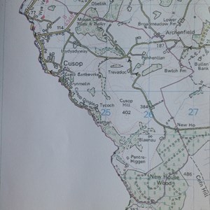
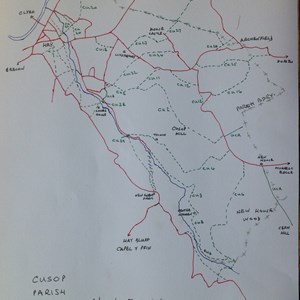
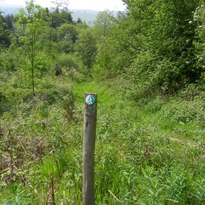
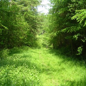
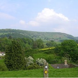
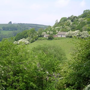
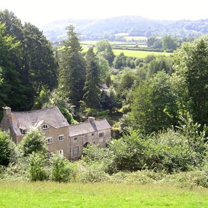
Cusop has a good network of public rights of way. There are about 19km of public footpaths, but sadly (for riders) no bridleways. The path network links into the surrounding parishes of Clifford, Dorstone and Craswall; also across the Welsh border into Hay and Llanigon.
The best map to use for walking is the Ordnance Survey Outdoor Leisure sheet OL13, Brecon Beacons National Park Eastern Area.
Tap on a map or picture to enlarge it.
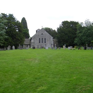
There is only very limited parking in Cusop. A good place to start a walk is at Cusop Church, but if you park there please ensure that you do not use space that may be required for a church service or funeral.
Please observe the Countryside Code when walking. In particular keep to the paths, keep your dog under close control, and leave gates as you find them.
We have published a set of 10 walks which cover most of the parish paths. Each walk is on a durable coloured card and the set is in a plastic wallet. "Cusop Walks" can be obtained from the Tourist Information Centre in Hay, price £3.50.
Please report any problems found on the path network within Cusop either to the Parish Path Officer (link below), or directly to Herefordshire County Council as follows:-
By email: www.herefordshire.gov.uk
By telephone: 01432 261800
